
Tamar Island Visitor Centre repeat photo
This photo-post tracks the changes that are unfolding as vegetation slowly recolonises the mudflat in the field of view. We hope that keen birders might also submit sightings of interesting birds feeding on the mudflat!
The Tamar Island Visitor Centre repeat photo site looks north-west towards a large mudflat fringed by southern reed (Phragmites australis). This mudflat was formed when the wetland was drained in the 1800s by digging drainage channels and erecting levees. Over time the levees have broken and water and sediment has slowly returned and vegetation is making a come-back too.
This repeat photo-post is new, so please contribute a photo by following the instructions on the post. As soon as we have enough submissions, we will post the photo-series on this page!
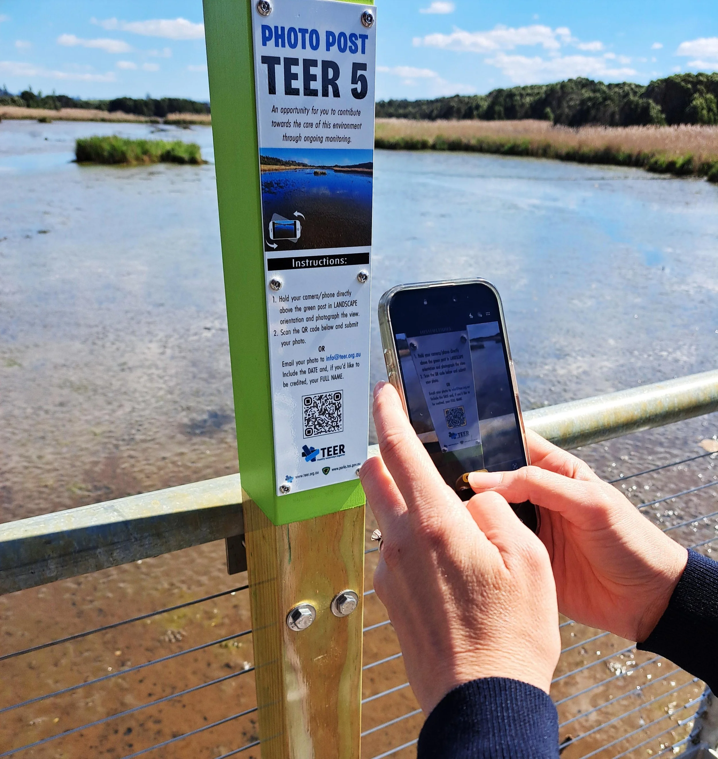
A citizen scientist in action, scanning the QR code and submitting one of the first images for the Tamar Island Visitor Centre repeat photo post.