

Tidal wetlands
Tidal wetlands form in sheltered bays and shorelines, shielded from intense waves, where regular inundation by marine and estuarine waters creates distinct and highly productive vegetation zones. These wetlands are uniquely adapted to rapidly changing temperatures, and fluctuating moisture and salinity levels, setting them apart from inland wetlands. Although recognised to be of great value, many tidal wetland habitats around the world are under pressure as a result of drainage, reclamation, fragmentation, and eutrophication, and in this regard the wetlands of the Kanamaluka / Tamar estuary are no exception.
Tidal wetlands are essential for estuarine health, offering critical habitats for reptiles, amphibians, birds, and mammals, and all the lower-order organisms that these animals depend on for food, while acting as natural filters to improve water quality by trapping pollutants and sediments. They also store significant "blue carbon," sequestering it more efficiently than terrestrial forests, and serve as buffers against floods, storm surges, and erosion to protect shorelines and communities.
Culturally and aesthetically significant to local communities, the tidal wetland habitats of the Kanamaluka / Tamar estuary face historical declines and ongoing threats from development, invasive species, and global pressures like climate change.
Types of tidal wetlands in the Kanamaluka / Tamar estuary
Freshwater wetlands: Found in the upper estuary, dominated by mudflats on the lower shoreline and the common reed (Phragmites australis) higher up the shore-slope.
Threatened swap paperbark stands: Small patchy populations of swamp paperbark (Melaleuca ericifolia) occur throughout the estuary, of which the largest extant patch is at Middle Point in the lower estuary.
Saltmarsh wetlands: Federally protected temperate saltmarsh wetlands containing rushes, sedges, and succulents are present in the middle to lower estuary and are typically the most biodiverse of the three wetland types.
Collectively these habitats, along with mudflats, form much of the natural shoreline of the estuary.


Phragmites australis
Melaleuca ericifolia
Study mapping wetland spatial extent
A major study, commissioned by the TEER Program in 2022 and published in Estuaries and Coasts in April 2025 has, for the first time, mapped the historical post-colonisation (i.e. shortly after European occupation) spatial extent of tidal wetlands bordering the Kanamaluka / Tamar estuary.
Researchers from the University of Tasmania (UTAS), led by Joshua Briggs and Dr Vishnu Prahalad, used sketches and surveys from as early as 1809, as well as aerial photography from the 1940s to reconstruct wetland distribution prior to major land reclamation and hydrological changes.
Key findings:
More than 200 years ago, and prior to infill and hydrological interference, the Kanamaluka / Tamar estuary supported the largest regional expanse of tidal wetlands in Tasmania at 2,231 ha.
By 2025, the current extent was found to be 1,074 ha (excluding invasive rice grass (Spartina anglica) and drained wetlands).
This represents a net loss of 52% of tidal wetland habitat since the early 1800s.
Losses have been concentrated around urban areas such as Launceston, but opportunities exist for the protection and rehabilitation of remnant wetland patches.
Spatial data from the study can support waterway managers and the community to identify remnant wetland areas and prioritise conservation or rehabilitation efforts.
Use the slider below to explore the changes surrounding Launceston or read the report:


MAP SLIDER EXPLAINED: The area shaded in lime-green is the immediate post-colonisation extent of wetlands surrounding Launceston. The area shaded teal shows the present-day extent. The identified changes highlight the need to protect the remaining wetlands and look for restoration opportunities.

Wetlands and the Biological Monitoring Program
Despite the recognised value of tidal wetlands, both biologically and as a provider of ecosystem services to humans, to date there has been no ongoing program to document changes to the spatial extent and health of tidal wetlands bordering the Kanamaluka / Tamar estuary. Knowledge about the extent and health of tidal wetlands – updated at an appropriate interval - is essential to guide effective conservation and management.
Recognising this need, the TEER Program included tidal wetland spatial extent (i.e. the study mentioned above) and ecological health assessments into a pilot Biological Monitoring Program for the estuary.
The spatial extent component has achieved its initial objective, which was to provide a post- colonisation baseline and a current-day extent of tidal wetlands, including rice grass (Spartina anglica). To best document change into the future, the spatial extent layers should be updated at intervals of approximately five years (or as aerial imagery permits).
On-ground ecological health assessments have been undertaken by the TEER Program to quantify species composition and cover, including the presence of threatened species and invasives. Over time, ecological health assessments will provide a record of the winners and losers due to factors like competition and environmental drivers. Analysis and reporting of the initial assessments are ongoing. Further details will be released with the findings of the Biological Monitoring Program.
Tidal wetland monitoring will improve our knowledge of this valuable ecological community and help to better manage and protect one of the estuary’s most prized natural assets.
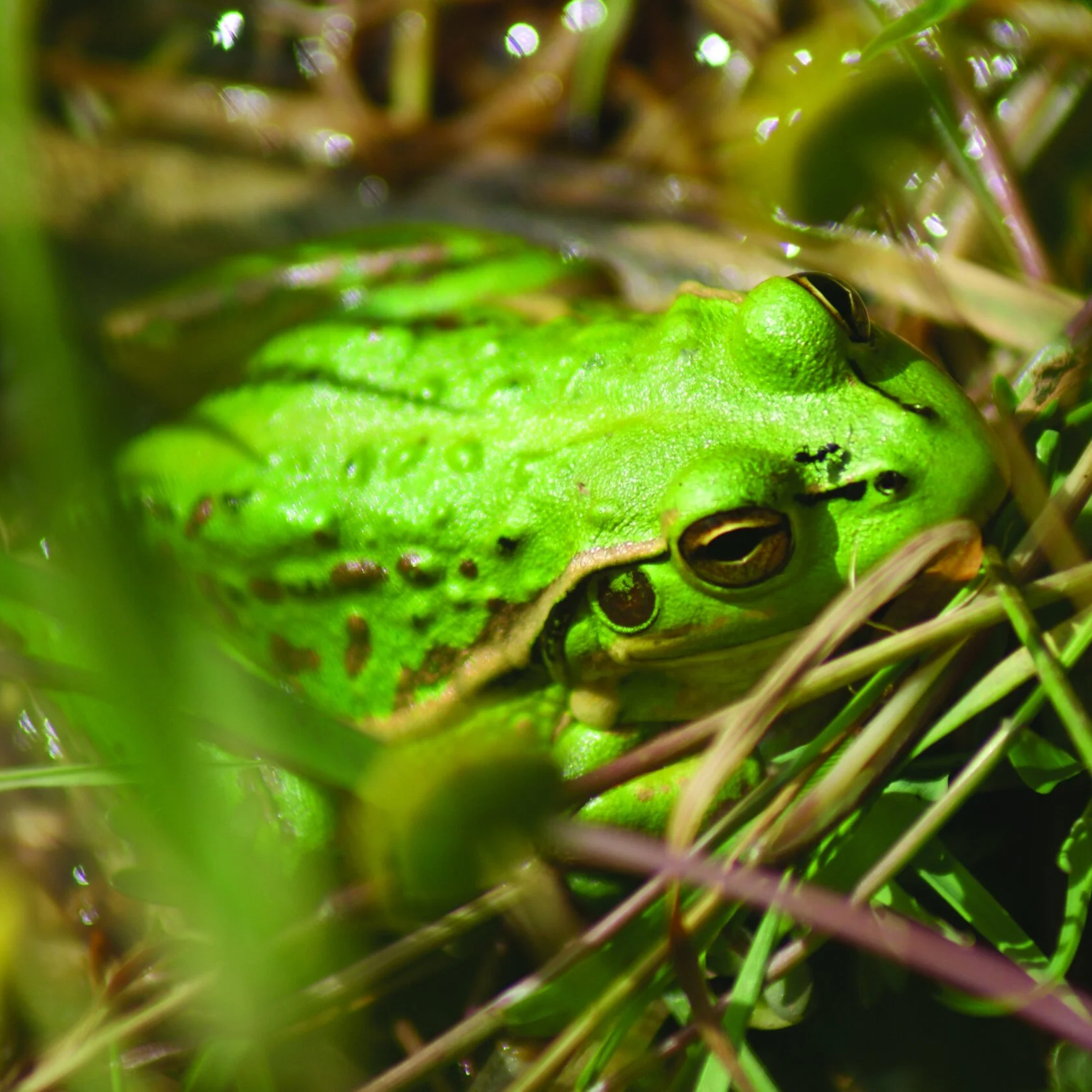

Green and gold frog (Litoria raniformis)
Lowland copper head snake (Austrelaps superbus)
