
The TEER Program
Established in 2008, the Tamar Estuary and Esk Rivers (TEER) Program is a collaboration between agencies responsible for the management of the Kanamaluka / Tamar estuary and Esk rivers waterways. The TEER Program has a vision to be a trusted and respected provider of science and evidence that informs decision making to recognise, protect, restore and enhance the values of the Kanamaluka / Tamar estuary and its rivers, from catchment to coast, working and walking together with traditional owners.
Our focus
The TEER Program Strategic Plan 2024-2028 was developed by program collaborators with the three future directions pathways outlined as:
work together to integrate governance, planning and management
understand and advise on waterway health
build community knowledge and awareness.

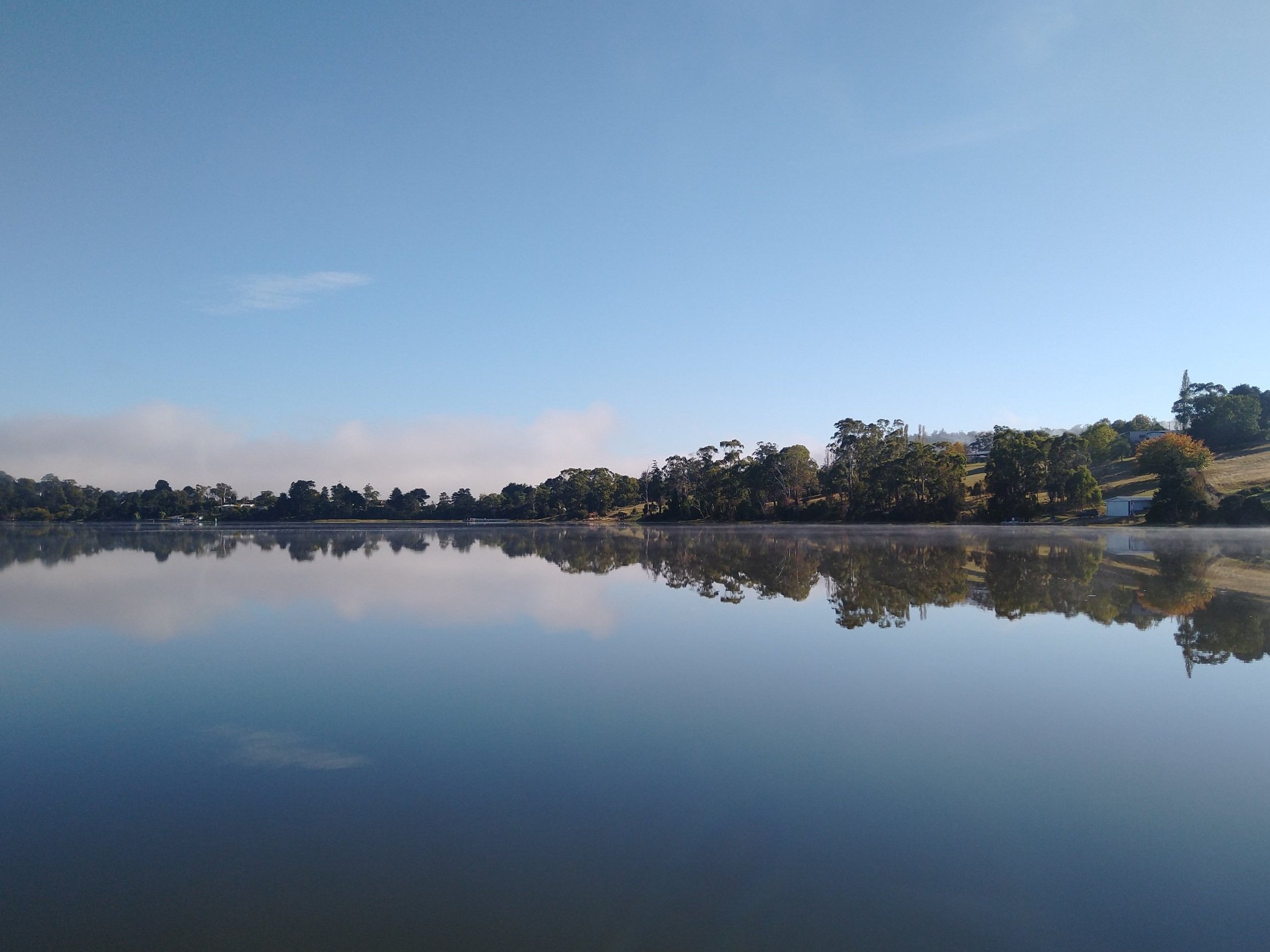
Natural Values
The Kanamaluka / Tamar estuary and its catchment covers 10,000 square kilometres. Featuring five major river catchments, including the North and South Esk, the Macquarie, Brumbys-Lake, and Meander catchments, and drains approximately 15 per cent of lutruwita / Tasmania.
The Kanamaluka has been the traditional lands of the leterremairrener, panninher, and tyerrernotepanner people for over 40,000 years. Today, people are still drawn to the estuary and its rivers, to connect with nature, history, and each other. The Kanamaluka / Tamar estuary is a focal point for the city of Launceston and underpins the region’s social, recreational, and economic values.
The Kanamaluka / Tamar estuary and its river catchment is home to some of the most productive agricultural land in Tasmania. It has rich and diverse aquatic ecosystems and incorporates several large conservation areas including the Ben Lomond National Park, the Tamar River Wildlife Sanctuary, and the Tamar River Mouth Nature Reserve. The area also contains a number of species listed under the Tasmanian Threatened Species Act 1995 and the Australian Government's Environment Protection and Biodiversity Conservation Act 1999, including the green and gold frog (Litoria raniformis), native fish such as Australian Grayling (Prototroctes maraena) and Galaxiids, and a variety of endangered threatened fauna and flora species present within riparian zones.

Delivery
The TEER Program works to improve waterway health through:
monitoring water quality in the estuary through the Ecosystem Health Assessment Program
monitoring blue-green algae in Lake Trevallyn over the summer months through our Algal Bloom Monitoring
improving our understanding of ecosystem health
supporting improved stormwater management through the Northern Tasmania Stormwater Working Group
supporting implementation of the recommended actions in the Tamar Estuary Water Quality Improvement Plan (WQIP).
Knowledge and awareness are delivered to the community via:
a biennial Tamar Estuary Report Card
educational videos and associated fact sheets
community days and events including the Tamar Forum, Tamar Discovery Day, clean-up events and community presentations.
Quick Q&A
-
Water quality in the Kanamaluka / Tamar estuary is influenced by diffuse and point sources of pollutants from Launceston’s combined sewerage and stormwater system, some agricultural practices in the catchment, historical industrial practices, outflows from sewage treatment plants throughout the estuary, river floods and man-made changes to the tidal prism of the estuary.
For more information about water quality, visit the water quality monitoring page.
-
The Kanamaluka / Tamar is an estuary, and not technically a river. An estuary is the place where freshwater from rivers meets marine water from the sea. We usually think of an estuary as being at the coast, at the mouth of a river, however, this estuary is actually a drowned river valley, the result of rising sea levels about 6,500 years ago. As a result, it is much longer than a normal estuary and it behaves differently. At 70 km in length, this estuary is the longest navigable estuary in Australia. The strong tides from Bass Strait push salt water upstream all the way to Launceston. The North Esk continues to be tidal all the way to St Leonards, and in summer, the water in Launceston can become quite saline and salty.
For more information, visit the natural history page.