

Repeat Photo Project
Repeat photography is a simple but powerful way of documenting environmental change. By taking photographs from the same location and viewpoint over time, we can build a visual record that reveals changes that may be difficult to notice from a single visit. It is also a great way for the community to get involved in monitoring the health of the estuary and contribute valuable information.
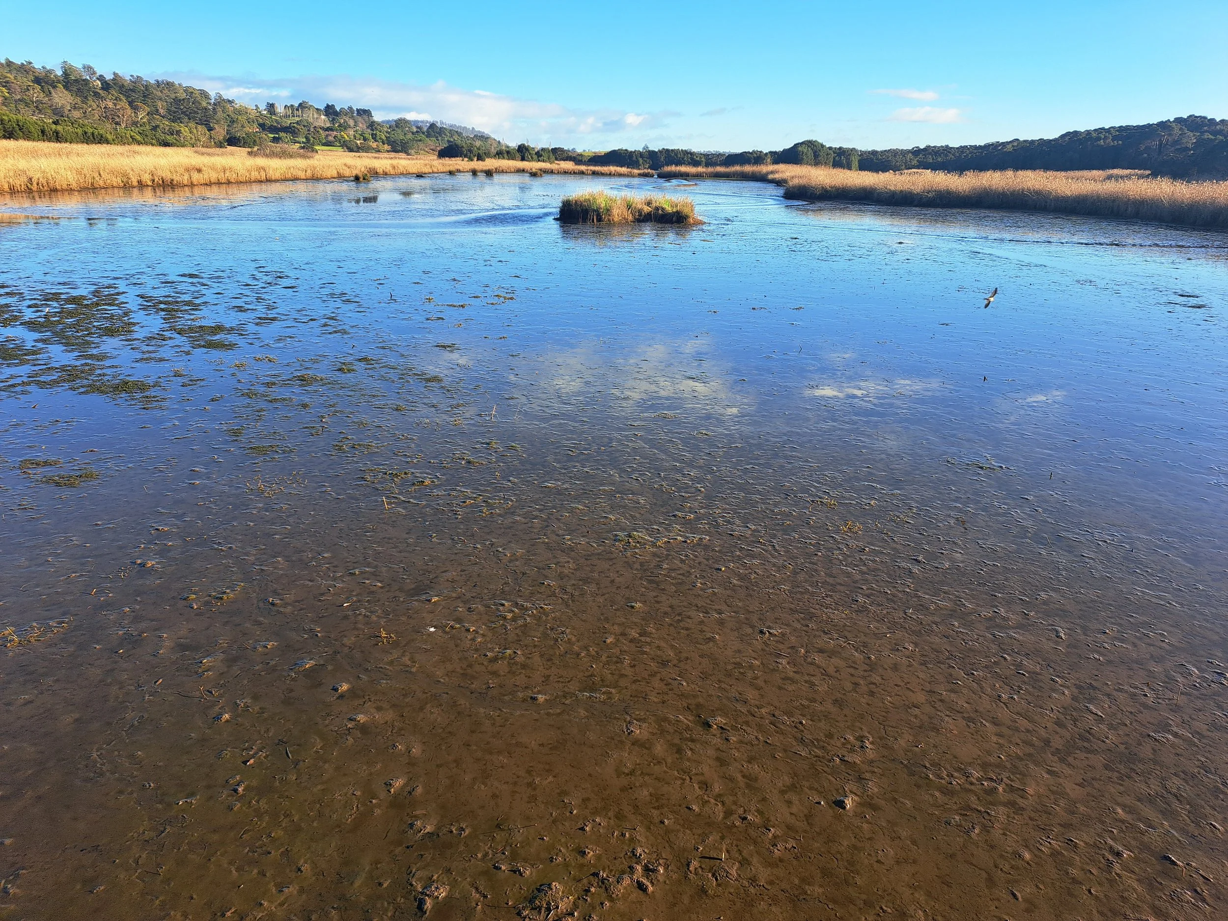
Through the TEER Program’s Repeat Photo Project, five public photo points have been established along the Kanamaluka / Tamar estuary. Together, these sites represent the estuary’s three main tidal wetland types: freshwater tidal wetlands, swamp paperbark forests and saltmarshes.
This is where you can help. Each time you visit a photo point, take a photograph following the instructions provided and submit it to the project. It’s as easy as snap and submit! As more people contribute, we will build a long-term photographic record of these important wetlands. Over time, these images can help us identify and understand changes that we’re looking for, such as bank erosion and changing vegetation patterns, or they can reveal things that we didn’t expect to see.
By contributing a photo, you can help us keep an eye on how these wetlands are changing—and create a valuable visual record for the future.
Check out where the TEER Program Repeat Photo Posts are located below.
Photo-post locations
Find the photo-post closest to your location and start contributing!
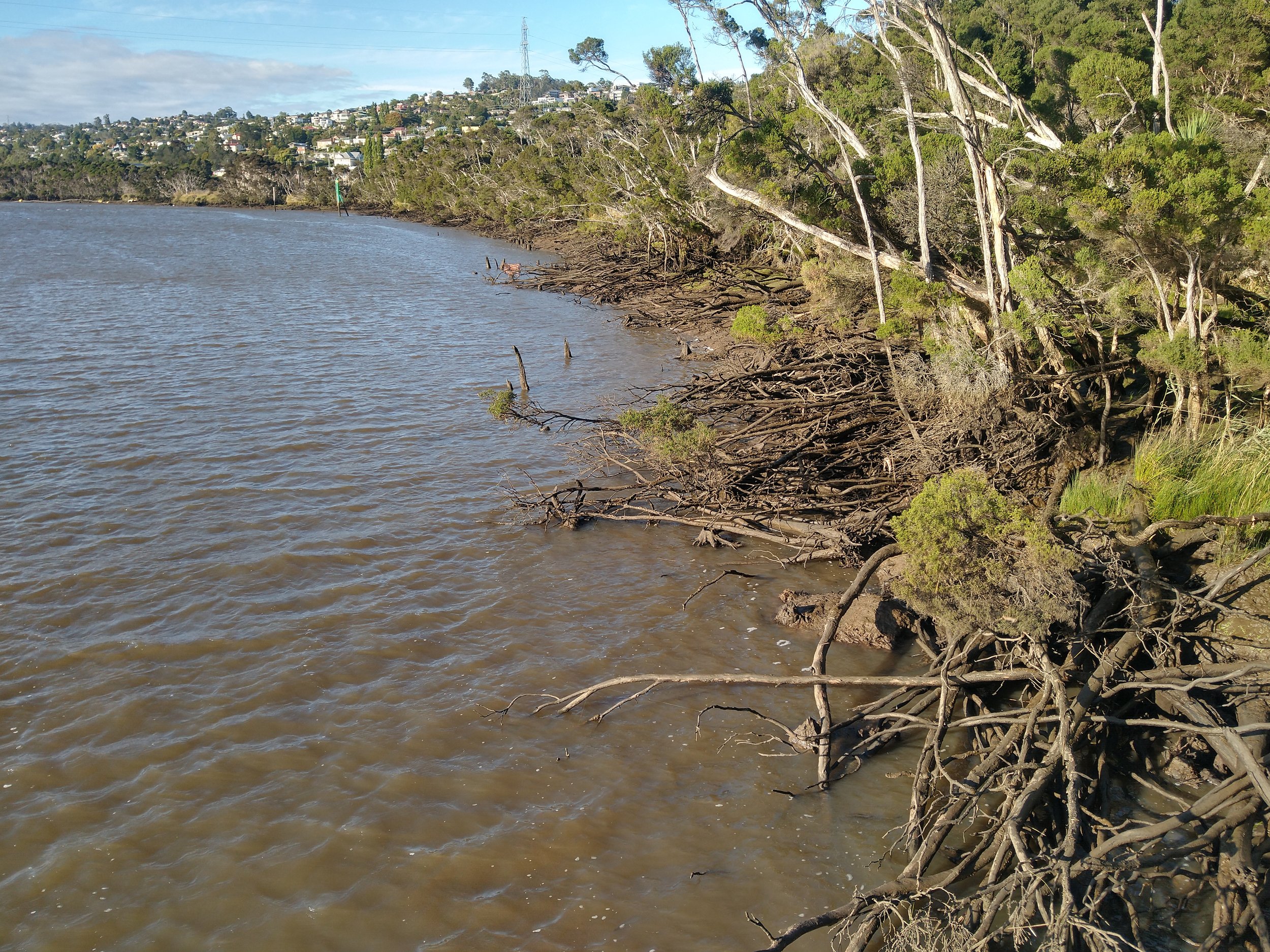
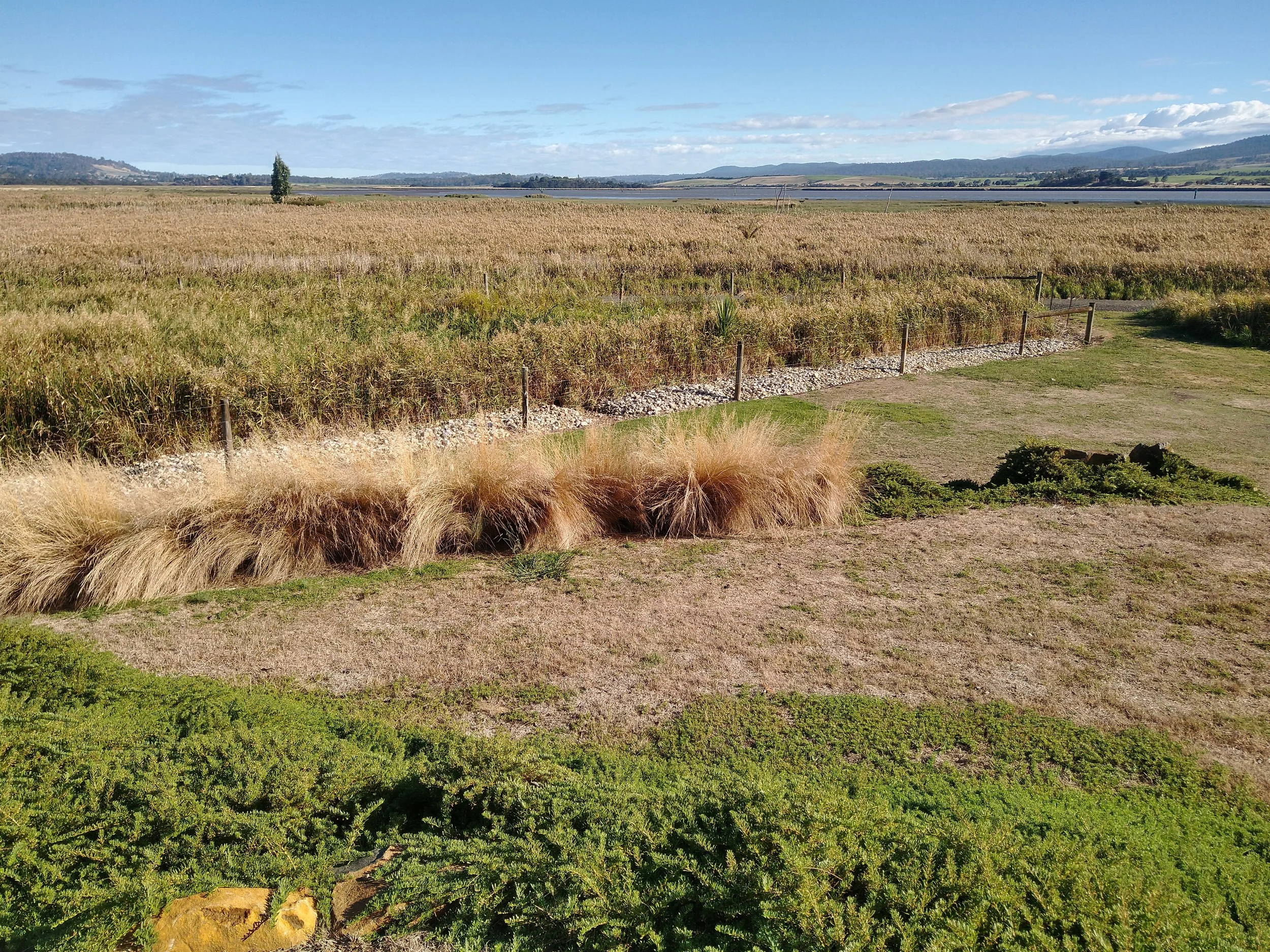
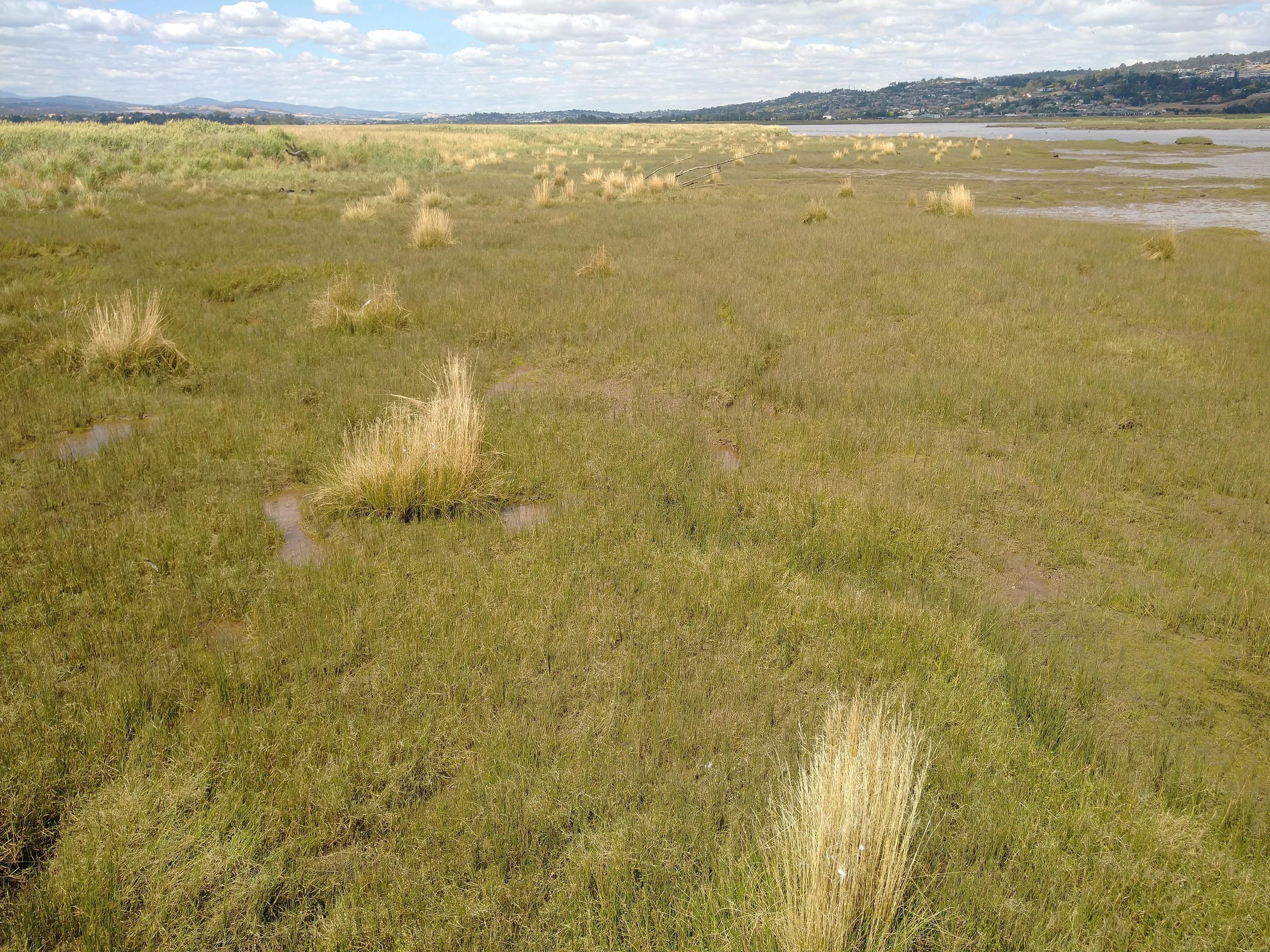
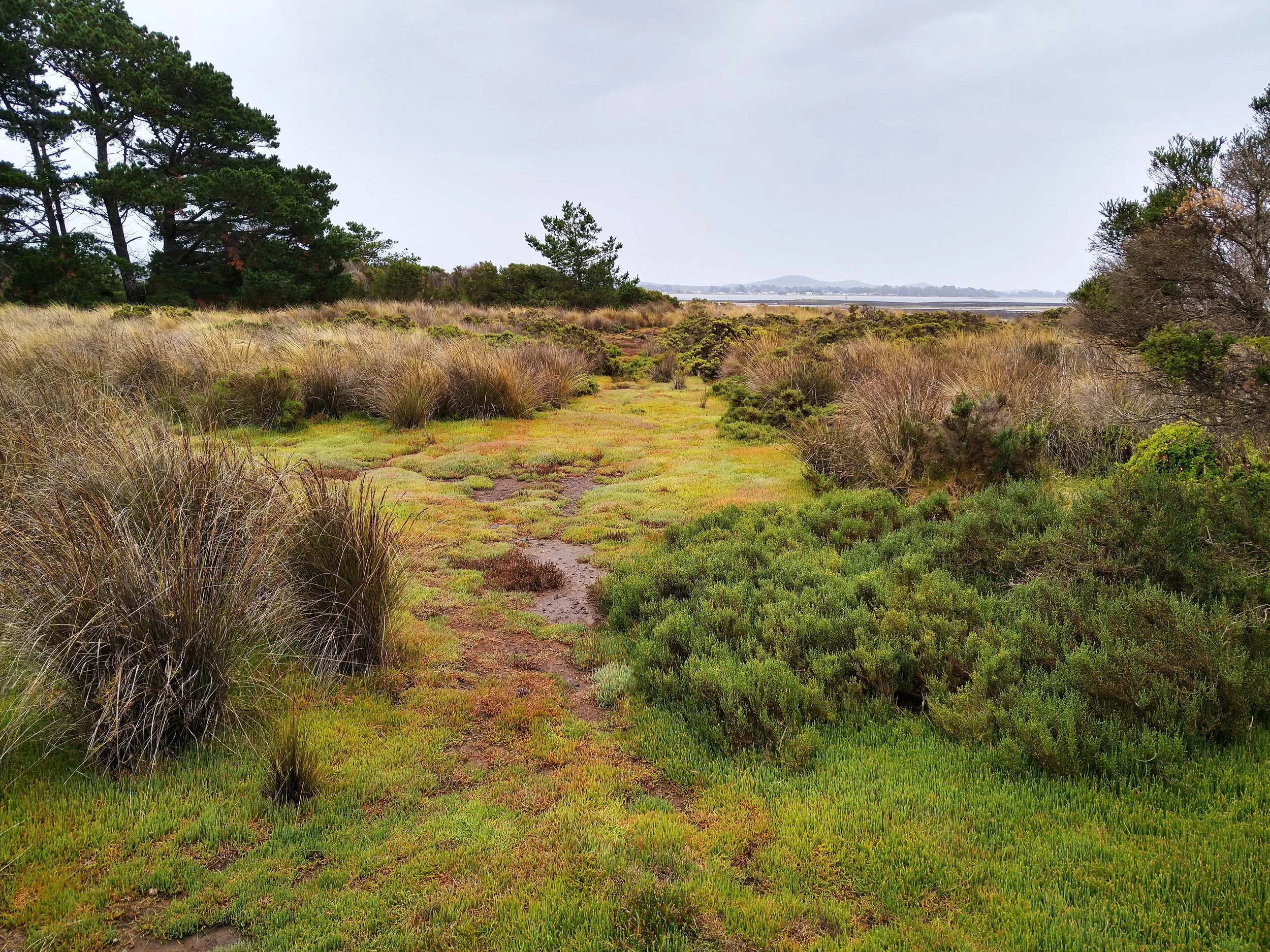
How can I contribute my photos?
Contribute your photos by emailing them directly to the TEER Program (info@teer.org.au) or scanning the QR code attached to each photo post and uploading them via the online form. Remember to include the date and your name if you’d like to be credited.
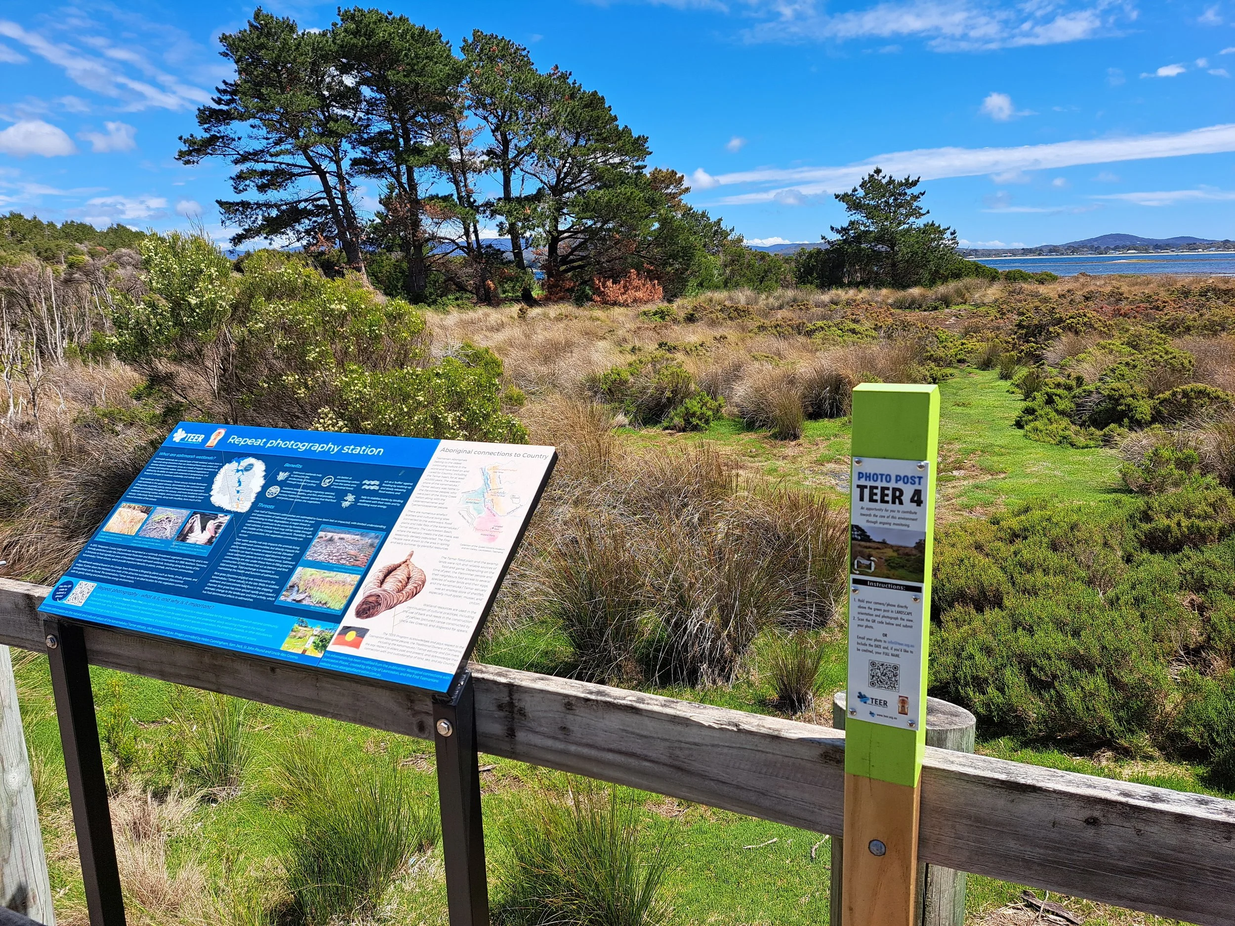
Pictured is ‘TEER 4’ the photo-post located along the Kanamaluka Trail at the George Town Reserve saltmarsh. The photo post is positioned next to an educational sign developed by the TEER Program.